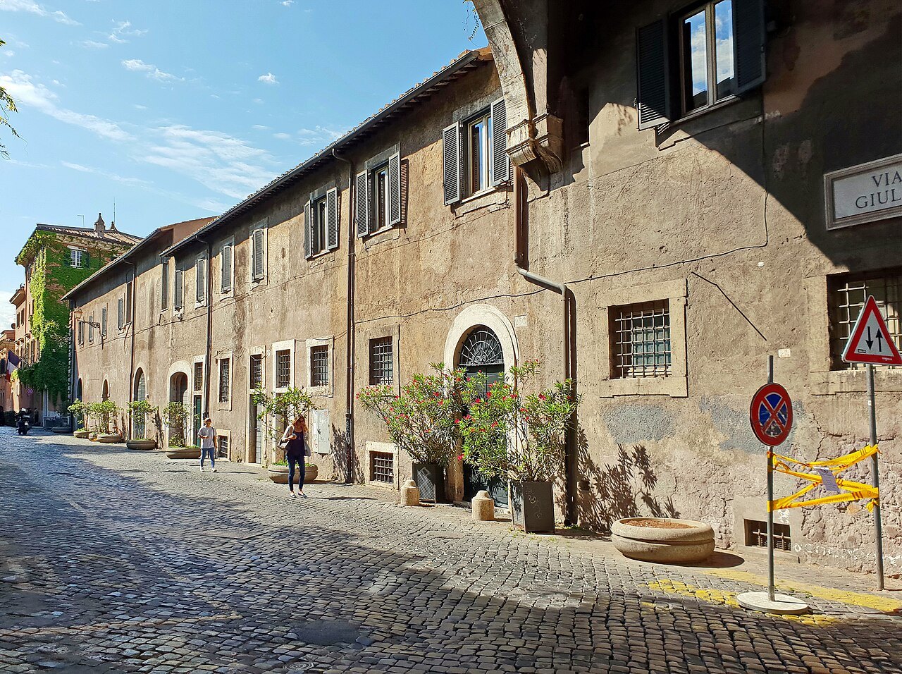
FROM AUGUSTUS'S REGIONS TO THE MARBLE PLAQUES OF 1744
Why are the districts of Rome called rioni?
Old Rome is divided into twenty-two rioni, numbered from Monti to Prati, and their names are carved at street corners. Where the word comes from, how fourteen ancient regions became twenty-two modern districts, what the 1744 plaques are, and how to use the numbers to find your way.
The answer in full
Read on
The short answer
Rione is the old Roman word for a district of the city, and it comes from the Latin regio, region. In the Middle Ages the Latin word became rejones, and from that came rione, used since the fourteenth century. Rome's historic center is made of twenty-two rioni, each with a Roman numeral, a name and a coat of arms, and on maps and street plaques they are written with the letter R: Monti is R. I, Trastevere R. XIII, Prati R. XXII.
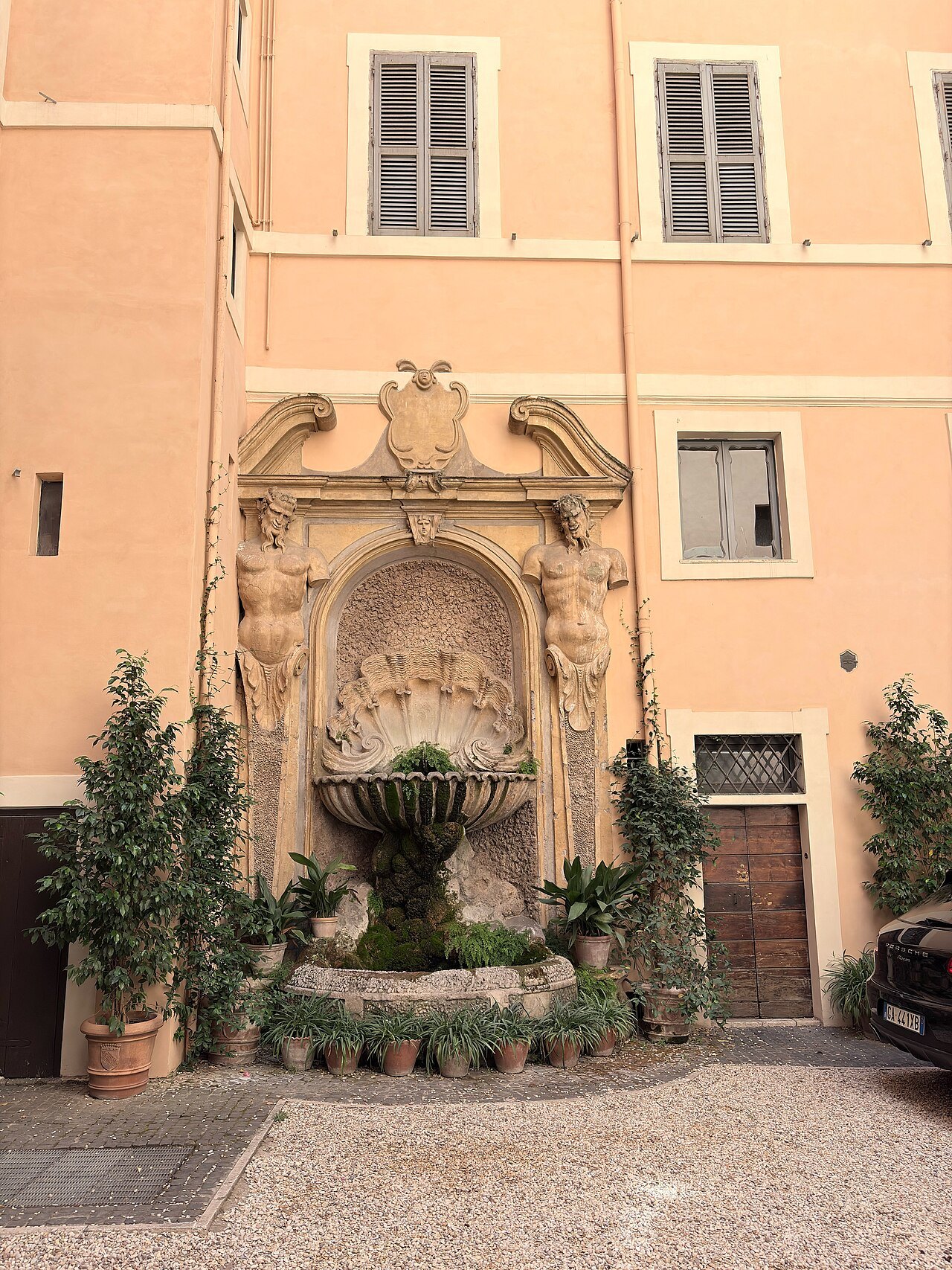
The system is more than seven hundred years old, and its roots go back to Augustus, which is why walking through Rome with the rioni in mind is a lesson in the city's history as well as a way to find your hotel.
Augustus's fourteen regions
Tradition says the sixth king of Rome, Servius Tullius, first divided the city into four regions. Augustus, the first emperor, reorganized it into fourteen regiones, which lasted through the empire and are recorded, with their names and figures, in catalogs of the fourth century. All but one of them lay on the left bank of the Tiber; the exception was the fourteenth, Trans Tiberim, beyond the Tiber, which survives in the name of Trastevere.
After the fall of the Western Roman Empire the population collapsed, and with it the division into regions. Great parts of the old city inside the walls turned into vineyards and gardens, and the people crowded into the low ground by the river.
Medieval districts
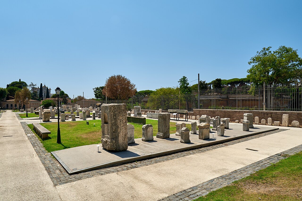
The rioni were reborn from below. In the twelfth century the people began to speak of the city as divided into twelve parts. It was not an official division, and the areas were different from the ancient ones, but the names were the same: regio in Latin, rione in the spoken language. By the thirteenth century the limits were more definite and there were thirteen rioni, each headed by an officer called the caporione. The rione was an administrative unit, not a political one.
In 1586 Pope Sixtus V added a fourteenth, Borgo, the district between the Vatican and the river, which had until then been run separately from the city. With little growth in the population, the number stayed at fourteen until the nineteenth century.
The marble plaques of 1744
By the eighteenth century the boundaries had become a source of constant confusion. In 1744 Pope Benedict XIV decided to redraw the administrative map of Rome and gave the task to Count Bernardini. That year, marble plaques marking the borders of each rione were set into the façades of the houses along its edges, and many of them still exist.
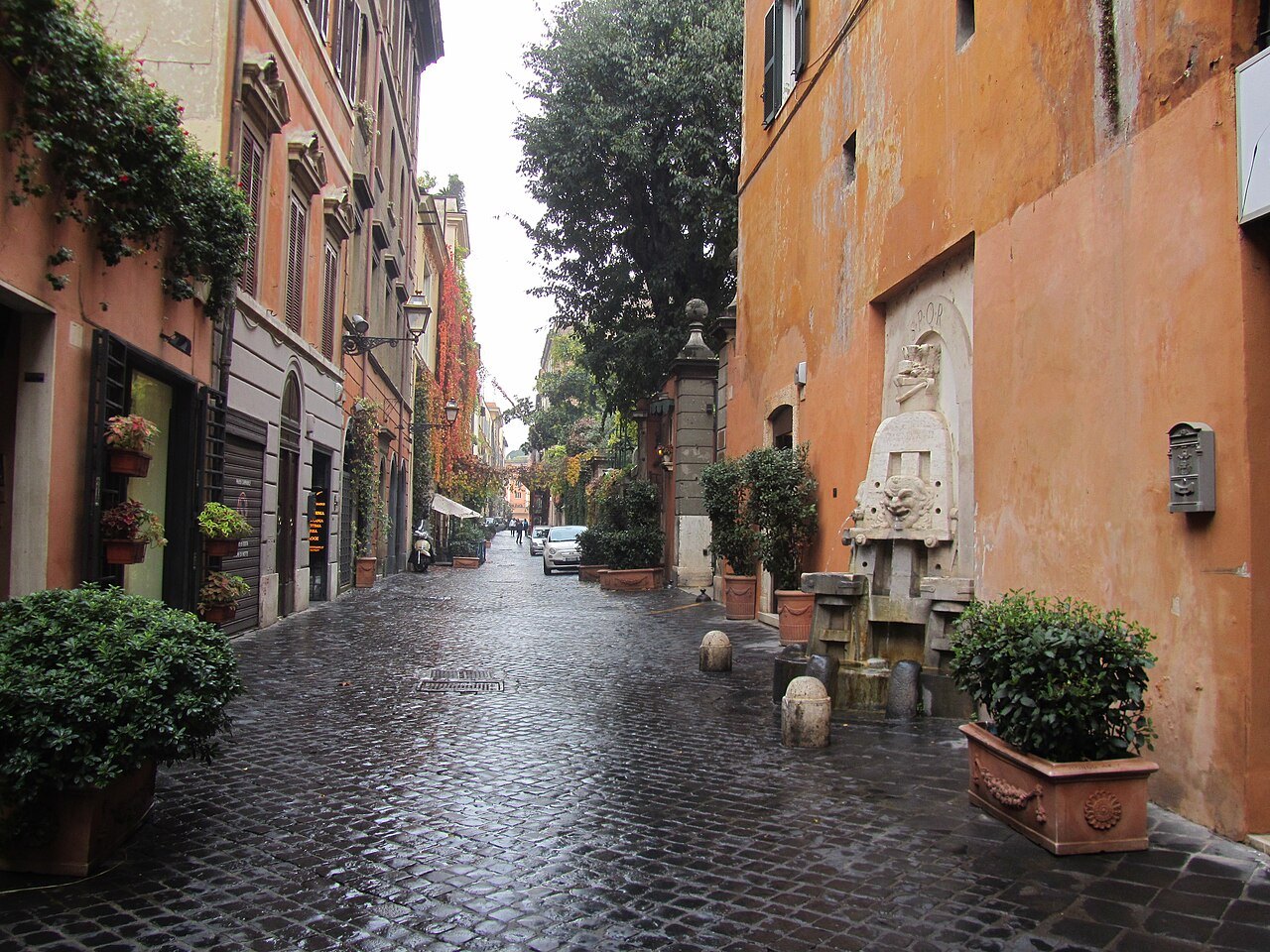
They are one of the pleasures of walking in Rome. Look up at a street corner in the old center and you may see a marble tablet carved with the name and number of a rione. Cross the street and the next corner may carry a different one. The plaques are small, plain and easy to miss, and they turn every walk into a map.
Revolutions and the new capital
The system did not change quietly. The short-lived Roman Republic of 1798 reorganized the city into twelve rioni, and under Napoleon Rome was split into eight parts called giustizie, with the smaller rioni merged into the larger ones; the French also fixed a plate in every street with its name and district. After Napoleon's fall the old rioni returned.
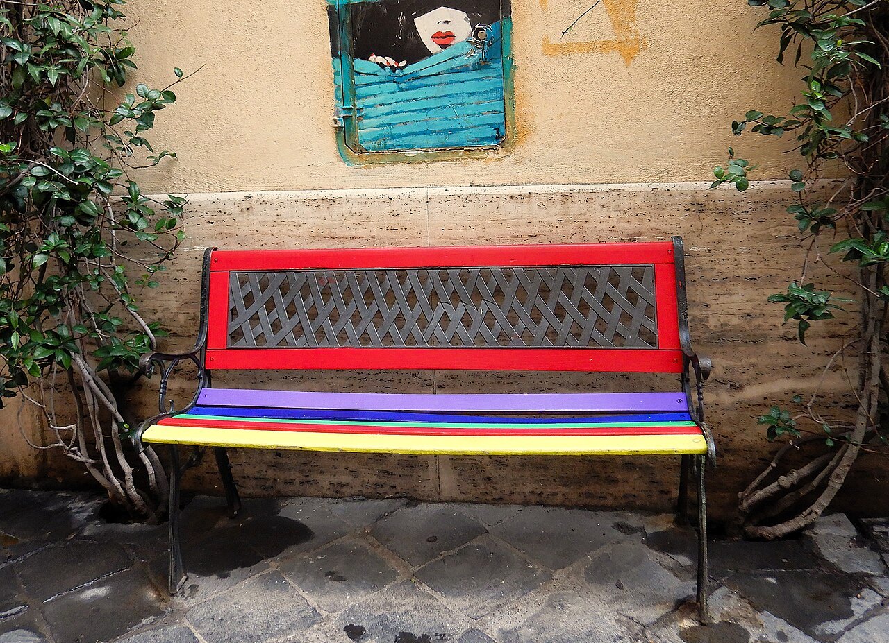
Real change came when Rome became the capital of united Italy after 1870. The population grew fast, inside and outside the Aurelian Walls. In 1874 a fifteenth rione, Esquilino, was made from part of Monti; in the early twentieth century others were split and the first districts beyond the walls were added, and in 1921 the number reached twenty-two. Prati, the last, was the only one built outside the walls of Pope Urban VIII.
What the names tell you
Each name is a small piece of history. Colonna takes its name from the Column of Marcus Aurelius; Castro Pretorio from the barracks of the Praetorian Guard; Parione from a great wall, perhaps part of Domitian's stadium under Piazza Navona; Pigna from a giant bronze pine cone now in the Vatican. Monti is named for its hills, Regola for the river sand, Ripa for the bank of the Tiber, Testaccio for its hill of broken amphorae.
The coats of arms are just as specific: three green mountains for Monti, three swords for Trevi, a rudder for Ripa, a stag's head with a cross for Sant'Eustachio, a lion for Borgo, an amphora for Testaccio and the silhouette of Hadrian's tomb for Prati.
Rione pride, and what lies beyond
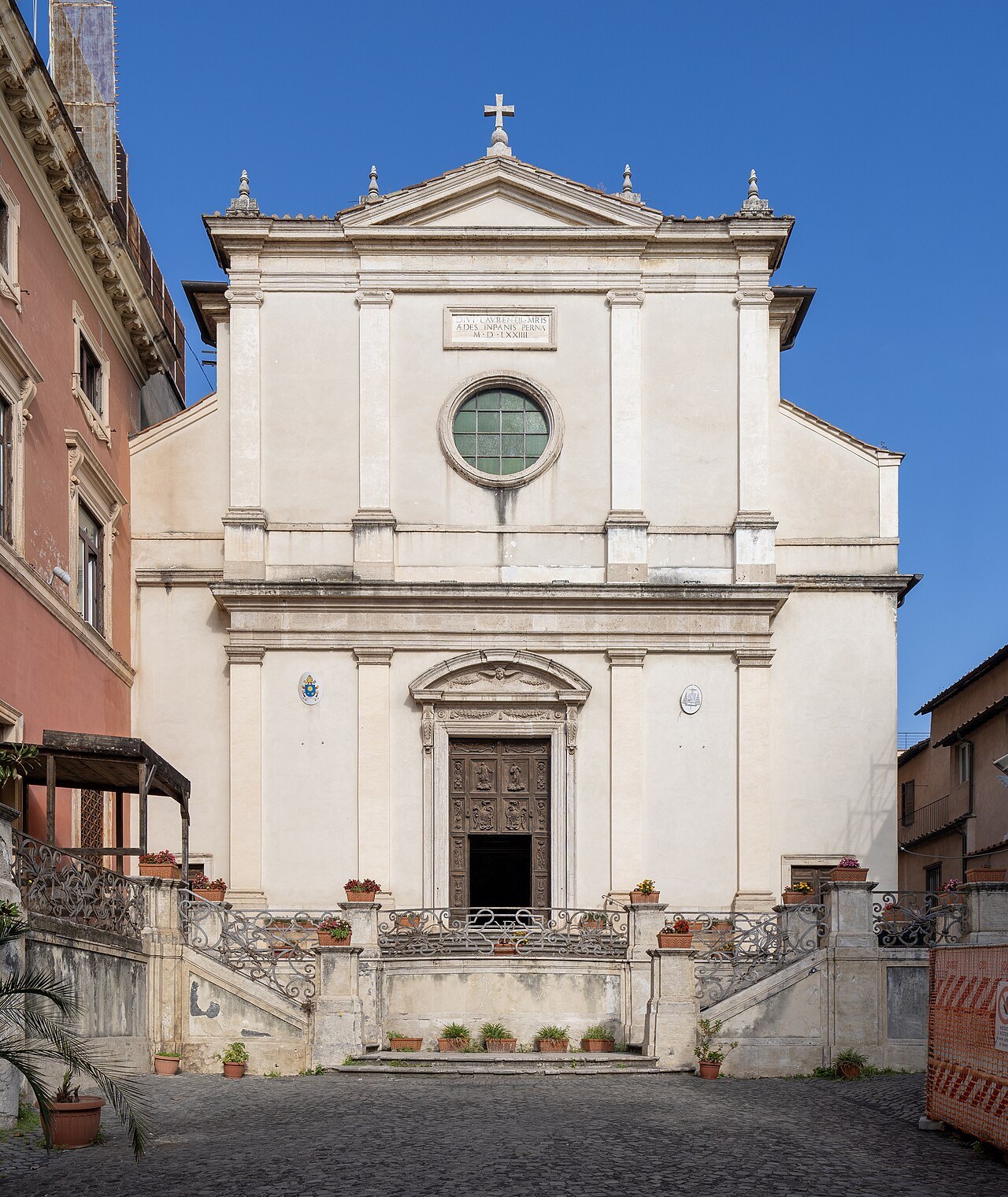
The rioni were never only lines on a map. In the Middle Ages the people of Monti, the monticiani, spoke their own form of Roman dialect and had a long-running rivalry with the people of Trastevere, and the two often came to blows. The people of Regola, where many butchers lived, were nicknamed tail-eaters after their oxtail stew, and the Trasteverini, cut off by the river and mixed since antiquity, developed a culture of their own.
Beyond the rioni lie the quartieri, the larger districts of the modern city, marked on plaques and maps with the letter Q and their own numbers: Trastevere, for instance, borders the quartieri Portuense and Gianicolense beyond the walls. If a street sign shows a Q, you have left the old city.
Using the numbers
Since 2013 all twenty-two rioni have belonged to the first municipio of the city, and the numbers still make a simple map. The low numbers, I to XII, are the old districts on the left bank, from Monti on its hills to the bend of the river and down to the Aventine; XIII is Trastevere and XIV Borgo, across the water; XV to XXII are the later additions around the edges.
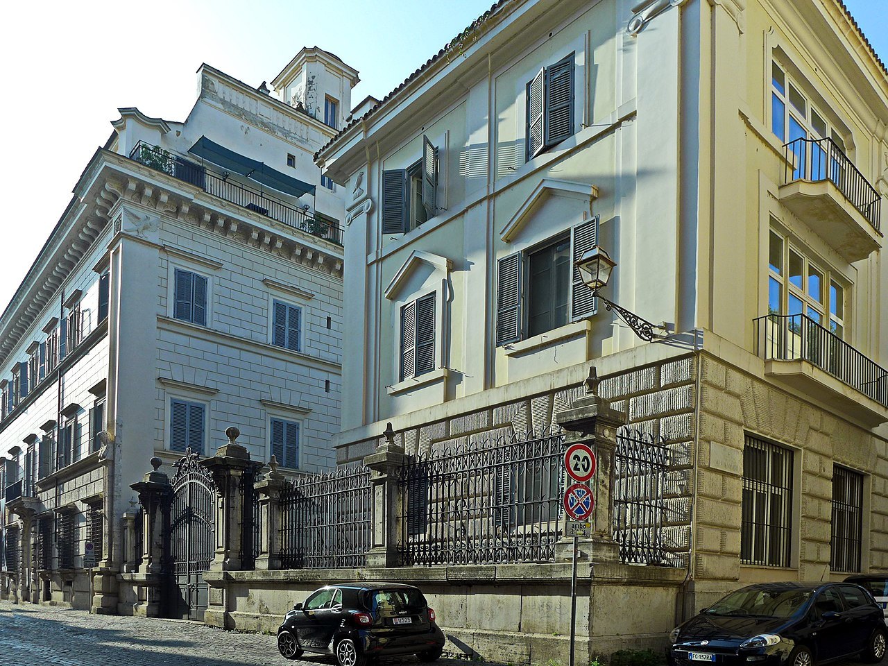
Every sight on this site carries its rione, so you can match the plaque on the corner to the page in your hand. The rioni page lists all twenty-two with a line on each, and the neighborhoods page groups them by what they are like to stay in.
Read next
More from the journal
- Vatican CityWhy is Vatican City a separate country?St. Peter's and the Vatican Museums stand in the smallest country in the world, not in Italy. How a thousand years of papal rule ended in 1870, why the popes called themselves prisoners, what the Lateran Treaty of 1929 created, and what the border means for a visitor today.Read the piece →
- Getting AroundHow does the Rome Metro work for visitors?Rome has only three Metro lines, and none of them runs through the heart of the old center. Which line reaches which sights, where they cross, why building them takes so long, how the Metrebus fare system ties them to the buses and trams, and when walking is simply faster.Read the piece →
- Getting HereHow do you get from Fiumicino Airport to central Rome?Most visitors take the Leonardo Express, the non-stop train from the airport's own station to Roma Termini. How to find the train, when the regional FL1 line makes more sense, how to recognize an official taxi and its fixed fare to the center, and what to ignore on the way out.Read the piece →