THREE LINES, ONE FARE SYSTEM AND A LOT OF ARCHAEOLOGY
How does the Rome Metro work for visitors?
Rome has only three Metro lines, and none of them runs through the heart of the old center. Which line reaches which sights, where they cross, why building them takes so long, how the Metrebus fare system ties them to the buses and trams, and when walking is simply faster.
The answer in full
Read on
The short answer
The Rome Metro has three lines: A, orange; B, blue; and C, green and driverless. Lines A and B cross at Termini, the main station; line C meets line A at San Giovanni and line B at Colosseo. For most visitors, line A is the useful one, for the Spanish Steps and the Vatican, and line B for the Colosseum and the ancient sites.
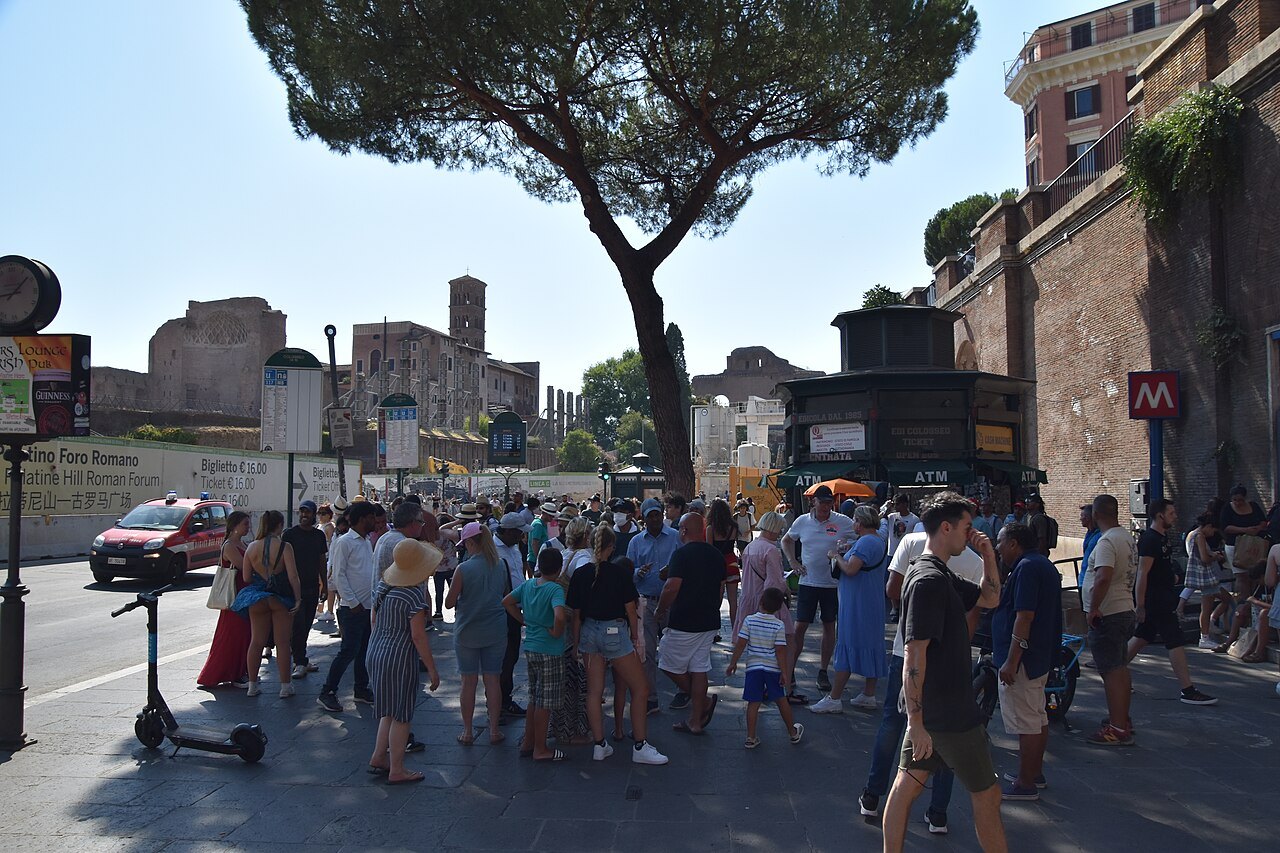
What the Metro does not do is cross the historic center. The Pantheon, Piazza Navona, Campo de' Fiori and Trastevere have no station. You will walk between them, or take a tram or a bus, and in the old center walking is usually quicker anyway.
A small network in an old city
The Metro opened in 1955, which makes it the oldest in Italy, but it has stayed small for a city of Rome's size: three lines, about thirty-nine miles of route and seventy-odd stations, carrying some 820,000 passengers a day. Line B was planned in the 1930s to link Termini with the new district built for a world's fair, and some of its tunnels in the center, finished before the war stopped the work, served as air-raid shelters.
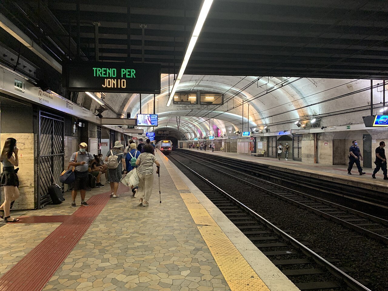
The reason for the size lies underground. Building in Rome means digging through two and a half thousand years of city, and work on every line has been halted again and again by archaeological finds. Under Piazza della Repubblica, the remains found while building line A are displayed behind glass in the station.
Line A: the Spanish Steps and the Vatican
Line A, the orange line, opened in 1980. It is the only line that crosses the Tiber, which makes it the Metro's link between the old city and the Vatican side. Its stations include Flaminio, by Piazza del Popolo; Spagna, below the Spanish Steps; and Ottaviano, the stop the Vatican Museums name in their own directions, with Lepanto one stop farther on in Prati.
Toward the southeast it runs to San Giovanni, beside St. John Lateran, where it meets line C. The line and several of its busiest stations, among them Spagna and Ottaviano, were modernized before and after the Jubilee of 2025.
Line B: the ancient city
Line B, the blue line, crosses line A at Termini and runs southwest past the ancient heart of the city. Its stop at Colosseo is opposite the Colosseum; Circo Massimo is beside the Circus Maximus, below the Palatine; and Piramide is linked to Roma Ostiense station and to Porta San Paolo, where the Metromare railway leaves for Ostia Antica and the sea.
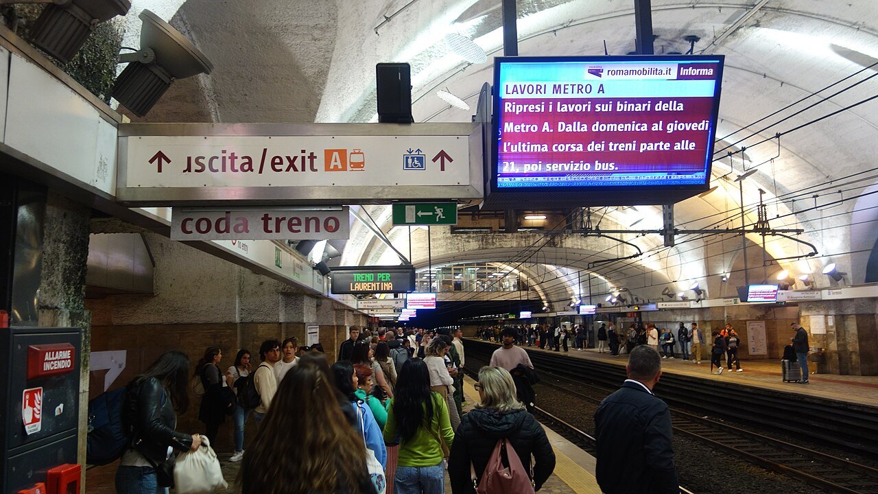
Tiburtina, the city's second railway station, is also on line B, which makes it the connection for the FL1 trains from Fiumicino.
Line C: the museum line
Line C, the green line, opened in 2014 in the eastern suburbs and has moved steadily toward the center. It reached San Giovanni in 2018 and Colosseo in December 2025, where it meets line B. It is Rome's first fully automated line, and the longest driverless metro in Italy.
Its central stations were designed as museums of what the tunnels found. At Porta Metronia, the remains of a second-century barracks of the Praetorian Guard are displayed in place behind glass, and the interchange at Colosseo has a public museum area of objects recovered during the digging. The line is being extended to Piazza Venezia, where trial trenches found remains of Hadrian's Athenaeum.
Tickets and the Metrebus system
The Metro, buses, trams and the city's suburban trains share one fare system, Metrebus, from metro, treno and bus, valid across the municipality of Rome. A ticket or pass is valid on any company's vehicles within its period of validity, so the same ticket can take you from a tram to the Metro.
ATAC, the city transport company, sells time tickets, packs of ten, and passes for one, two and three days, and it accepts contactless bank cards at the gates under the name tap&go. Its website explains how each ticket is used and validated; read it before your first ride. ATAC has also warned about fake text messages about tap&go payments, which are a phishing scam.
Trams and buses fill the gaps
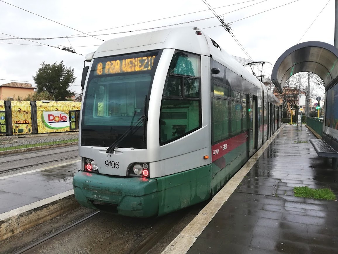
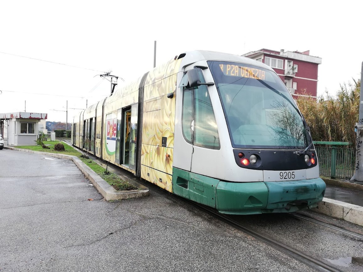
Where the Metro stops, the trams and buses take over, on the same tickets. Tram 8, the newest line, runs from Piazza Venezia across the river through Trastevere. Tram 3 follows line B on the surface between Piramide, Circo Massimo and Colosseo and swings round the city in a wide arc, and tram 19 connects the Vatican, at Piazza Risorgimento, with the rest of the network. The trams' main hub is Porta Maggiore, east of Termini, where four lines meet, though it has no Metro station.
Bus stops mark each route by its letter and color: a green X for the express routes, a dark blue N and an owl for the night buses, and an F after the number for routes that run only on Sundays and public holidays.
The Metro still to come
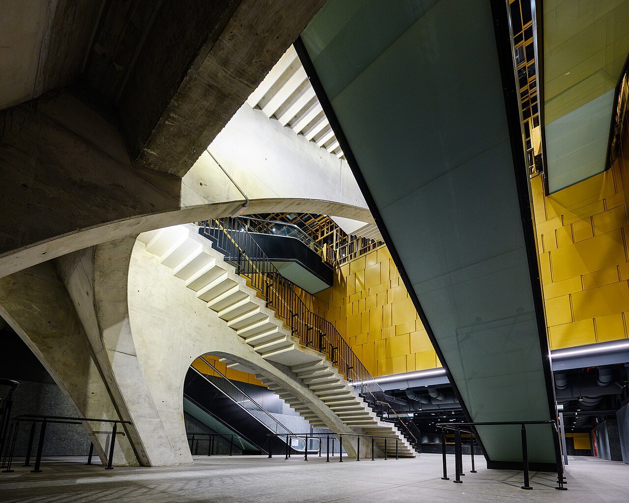
The network is still growing. Line C is being extended northwest from Colosseo toward Piazza Venezia, where it is planned to meet a future line D, and then on to Ottaviano beside the Vatican, where it will cross line A, before continuing toward Grottarossa in the north. Each new central station has to be dug through layers of ancient city, which is why the work is measured in decades.
For a visitor, the practical lesson is to check the current map before you plan around a station: the network you find may be a little larger than the one described in older guides.
When to walk instead
In the old center, the Metro is rarely the fastest way between two sights. The Pantheon, Piazza Navona and the Trevi Fountain are a few minutes apart on foot, and the nearest stations to them are a walk away. Use the Metro to reach the edges, such as Colosseo for the ancient city, Spagna for the Spanish Steps and Ottaviano for the Vatican, and walk the rest.
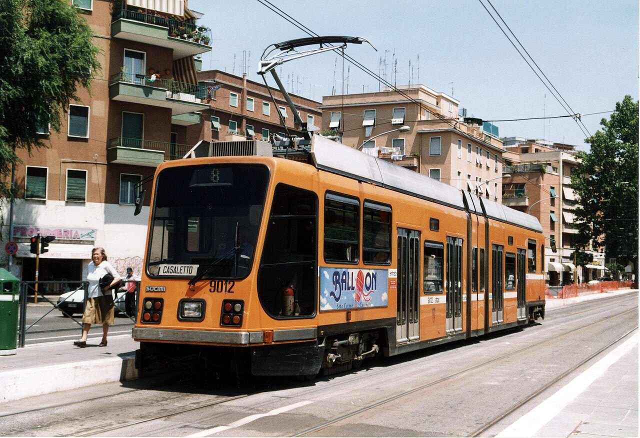
For Trastevere, which has no Metro, take tram 8 from Piazza Venezia or walk over the Ponte Sisto. The getting around page covers the trams, buses and taxis, and the itineraries page builds days that keep the riding short.
Read next
More from the journal
- Getting HereHow do you get from Fiumicino Airport to central Rome?Most visitors take the Leonardo Express, the non-stop train from the airport's own station to Roma Termini. How to find the train, when the regional FL1 line makes more sense, how to recognize an official taxi and its fixed fare to the center, and what to ignore on the way out.Read the piece →
- The RioniWhy are the districts of Rome called rioni?Old Rome is divided into twenty-two rioni, numbered from Monti to Prati, and their names are carved at street corners. Where the word comes from, how fourteen ancient regions became twenty-two modern districts, what the 1744 plaques are, and how to use the numbers to find your way.Read the piece →
- Day TripsHow do you visit Ostia Antica from Rome?Ostia Antica, the port city of ancient Rome, is the easiest day trip from the center: a suburban train from Porta San Paolo, beside the Piramide Metro stop, takes you to a Roman town preserved under sand. How to get there, what the town was, what to look for among its streets, apartment blocks and baths, and how to plan the day.Read the piece →