Home · Getting Around
Once you are here
Seven ways to move
On footOn foot
Most of the sights on this site lie within the Aurelian Walls, on cobbled streets made for walking.
UndergroundMetro line A
The orange line, the only one that crosses the Tiber: Spagna for the Spanish Steps, Ottaviano for the Vatican.
UndergroundMetro line B
The blue line, crossing line A at Termini, with stops at Colosseo, Circo Massimo and Piramide.
UndergroundMetro line C
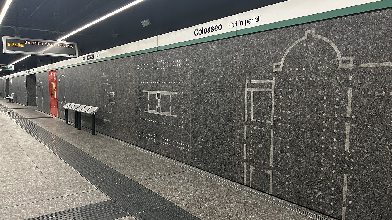
The green, driverless line, reaching Colosseo in 2025, with stations that double as small museums.
On railsTrams
Six lines; line 8 runs from Piazza Venezia across the river through Trastevere.
On the roadBuses
The network that reaches everywhere the Metro does not, with night buses marked by an owl.
By carTaxis
Official taxis are white, with a roof sign and a license number on the doors.
In full
Getting Around
A city to walk
The old center of Rome is compact. Most of the eighteen sights on this site stand inside the Aurelian Walls, the circuit of the third century that encloses the rioni, and many of them are a few minutes apart: the Pantheon, Piazza Navona and the Trevi Fountain lie within a short walk of each other in the bend of the river. The itineraries are built so that you walk from one to the next and ride only to the edges.
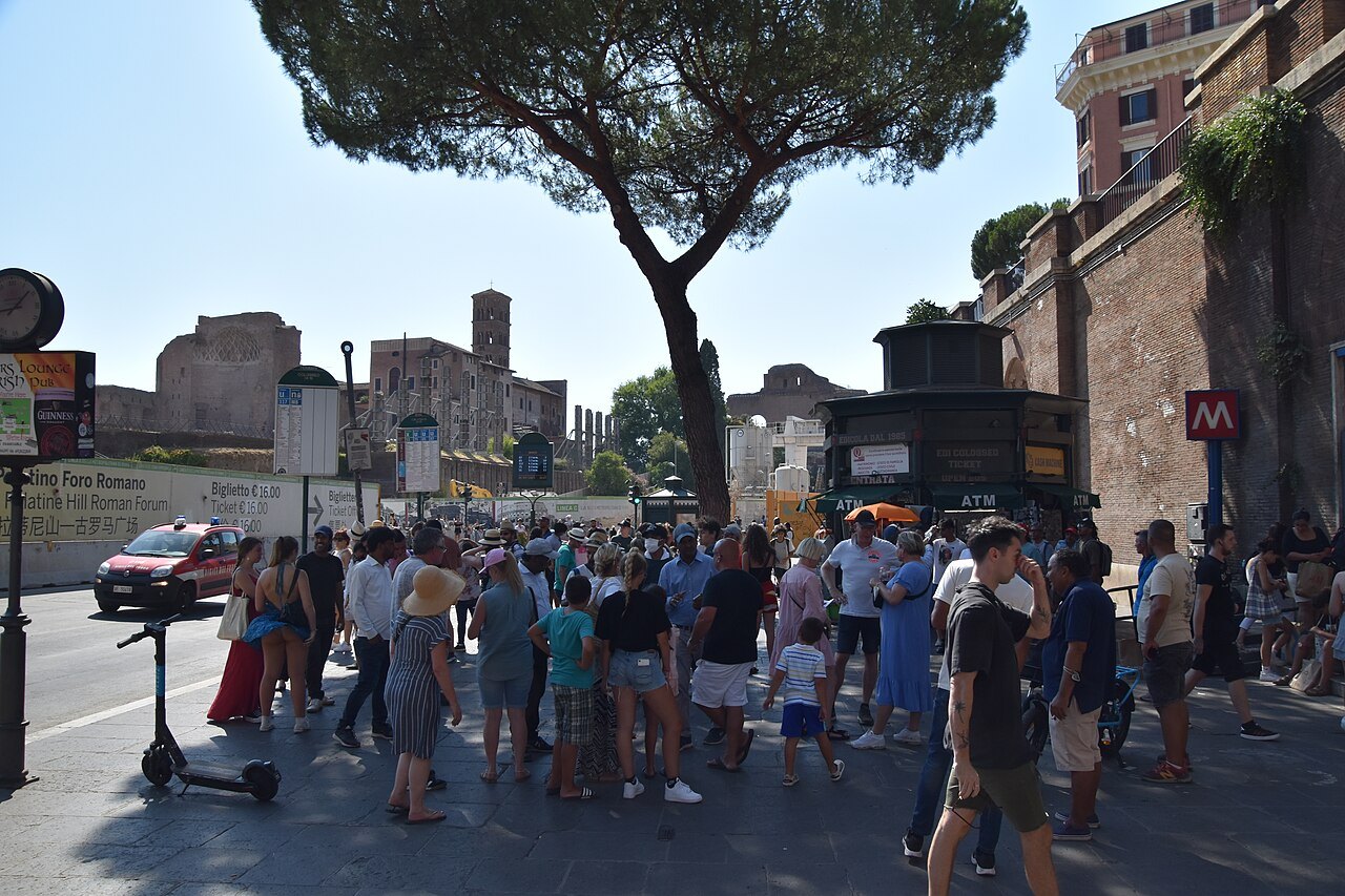
The streets themselves shape how you move. Many are paved with sampietrini, the small square cobblestones that replaced bricks because they suited carriages, and in Trastevere and the old center they are narrow and irregular. Wear shoes with good soles, expect uneven ground, and allow more time than a map suggests.
Reading the city from the ground
The rioni help you find your way. Their names and numbers are carved on marble plaques at street corners, many of them from 1744, so at any corner you can check which district you are in and match it to the rione given for each sight on this site; the rioni page explains the numbers. The Tiber is the other guide: the old center lies in its eastern bend, with Trastevere and the Vatican across the water to the west.
Line A is the only Metro line that goes under the river, so for journeys between the two banks the trams and buses, or the bridges on foot, are often the answer.
The Metro
The Rome Metro opened in 1955, the oldest in Italy, and has three lines: A (orange), B (blue) and C (green). It is smaller than the size of the city would suggest, because building underground in Rome means digging through the past: work on every line has been halted again and again by archaeological finds. As a result, the Metro runs around the edges of the historic center more than through it.
Line A is the line most visitors use. It is the only line that crosses the Tiber, and its stations include Spagna, below the Spanish Steps, and Ottaviano, the stop for the Vatican Museums. Under Piazza della Repubblica, the remains found during its construction are shown in glass cases in the station.
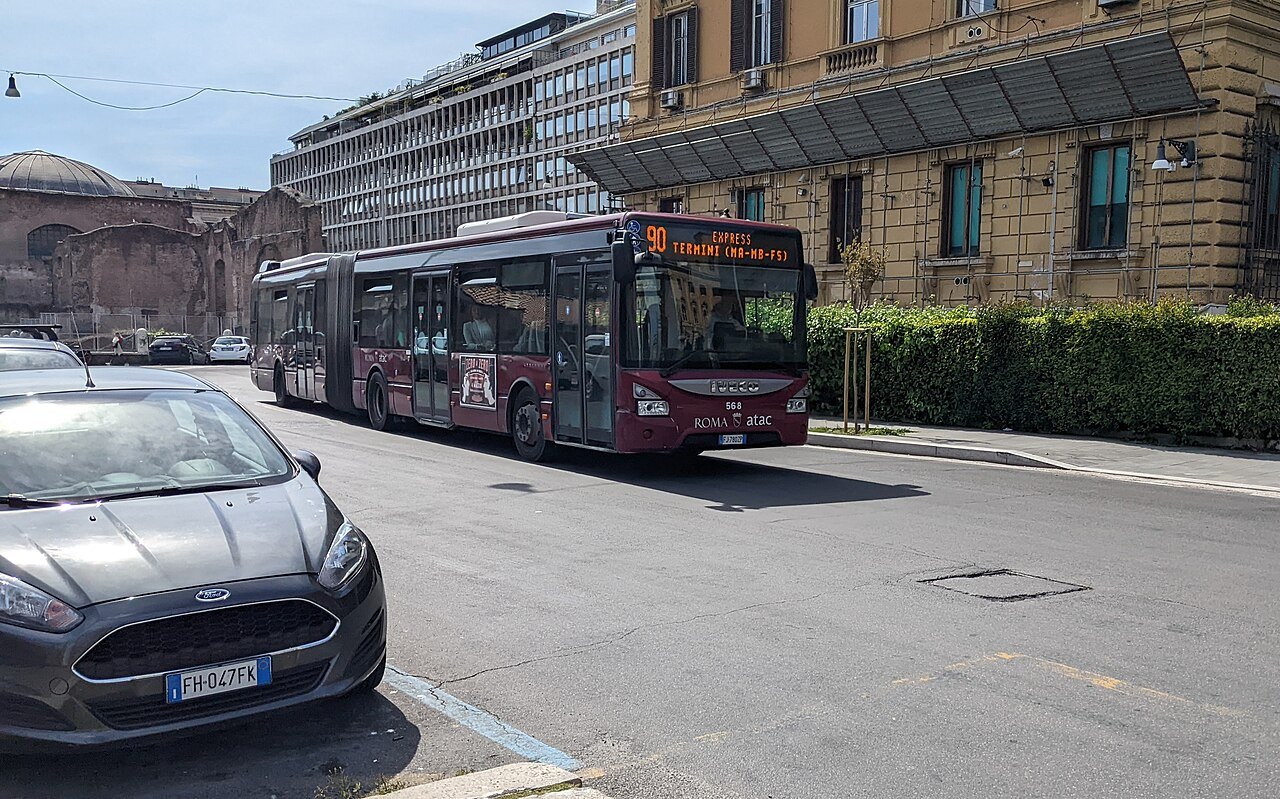
Line B crosses line A at Termini and runs past the Colosseum at Colosseo and on by Circo Massimo and Piramide; some of its tunnels in the center, built before the Second World War, served as air-raid shelters. Line C, Rome's first fully automated and driverless line, reached Colosseo in December 2025, where it meets line B; it also meets line A at San Giovanni, near St. John Lateran.
Stations that are museums
Line C was designed so that its central stations act as museums of what the tunnels found. At Porta Metronia, the remains of a second-century barracks of the Praetorian Guard, uncovered during tunneling, are shown in place behind glass. The interchange at Colosseo has a public museum area of objects recovered during the excavations. Farther on, under Piazza Venezia, trial trenches in 2009 found remains of Hadrian's Athenaeum, which are being built into the future station there.
Trams and buses
Rome's six tram lines are what remains of what was once the largest tram system in Italy. Their main hub is Porta Maggiore, east of Termini, where four lines meet. For visitors the most useful is line 8, the newest, which runs from Piazza Venezia across the river into Trastevere and on to the station there. Line 3 follows the Metro's line B on the surface between Piramide, Circo Massimo and Colosseo, and line 19 connects the Vatican, at Piazza Risorgimento, to the rest of the network.
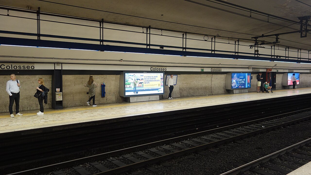
Buses fill in the rest. Routes are marked at the stops by letter and color: express routes with a green X, night routes with a dark blue N and an owl beside the number, and some routes with an F after the number, which run only on Sundays and public holidays. Coaches to other towns leave from the bus stations at Tiburtina and Anagnina; Cotral runs the regional buses of Lazio.
Tickets
The Metro, the trams, the buses and the city's suburban trains all share one integrated fare system, called Metrebus, from metro, treno and bus, valid across the municipality of Rome. A ticket or pass works on any company's vehicles within its period of validity.
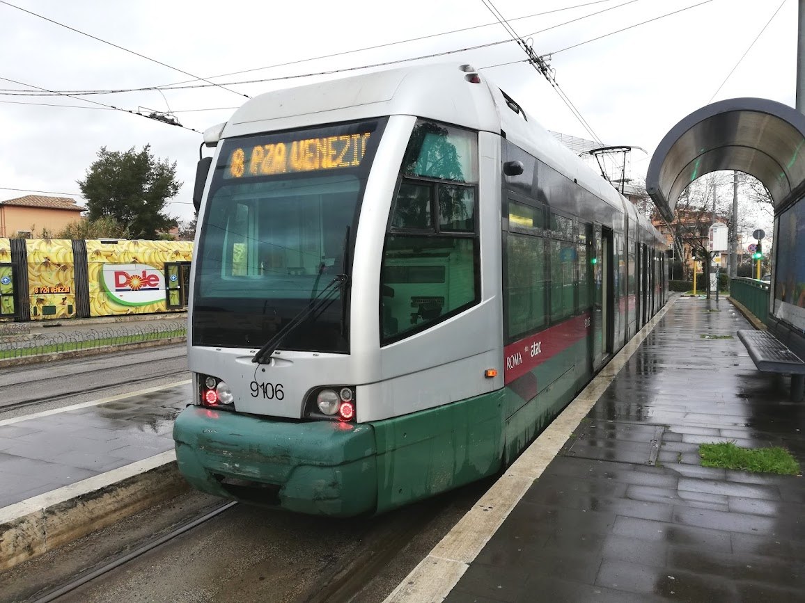
ATAC, the city transport company, sells single time tickets, a ten-ticket pack and passes for one, two and three days, alongside the Roma Pass, which combines transport with museum entry, and it accepts contactless bank cards under the name tap&go. Its own website sets out how each ticket is used and validated; read it before your first ride, and beware of text messages about tap&go payments, which ATAC has warned are a phishing scam.
Bikes, scooters and car sharing
Several companies rent shared bicycles and electric scooters in the city, and bike racks with some five thousand spaces stand around it, with bike boxes at a handful of Metro stations. In 2024 work began on the GRAB, a cycle and pedestrian ring of about twenty-eight miles meant to join up the city's cycle paths. The cobbles, the hills and the traffic of the center make cycling there harder than it looks on a map; the long, flat paths are better.
Car sharing is run both by the city, whose service has operated since 2005, and by private companies. For visitors, the most practical use is a single one-way ride to the edge of the center; inside it, walking is almost always faster.
Taxis and cars
Official Rome taxis are white, with a TAXI sign on the roof, the city's symbol on the front doors and a license number on the doors, the back and inside. Take them from the official ranks or book them through the taxi cooperatives, and be wary of anyone offering a ride without being asked.
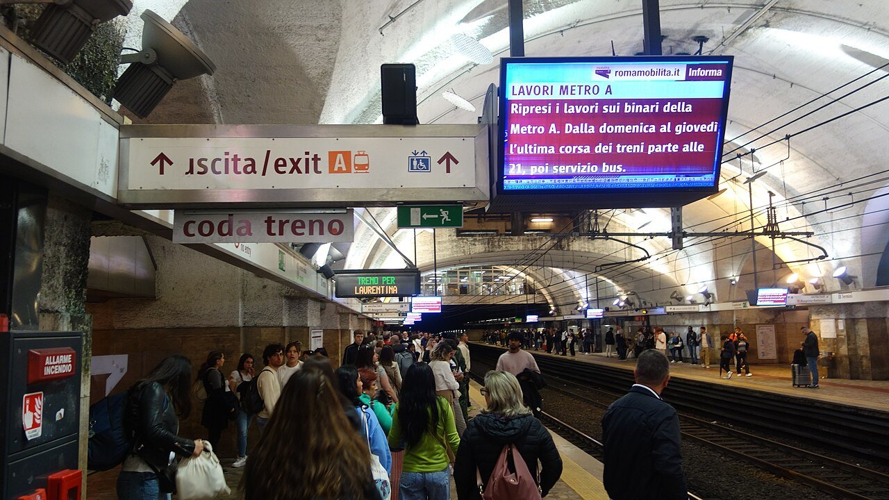
Driving is not worth the trouble for a visitor. Traffic congestion in Rome is notorious, and chronic congestion led the city to ban most private cars from its central area on working days; the area is called the ZTL, the zona a traffico limitato, and like others in Italy it is usually enforced by cameras. Further ZTLs close Trastevere, San Lorenzo, Testaccio and Monti to cars at night, when their bars and restaurants draw weekend crowds.
Seen on the way
More photographs
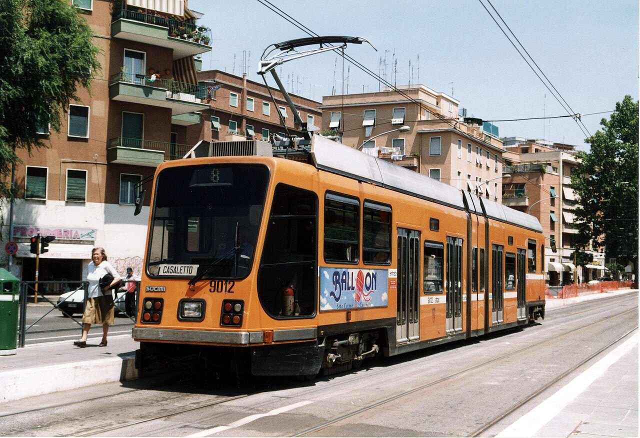
An orange articulated tram at a stop in a residential streetgiokai421, Wikimedia Commons, CC BY 2.0 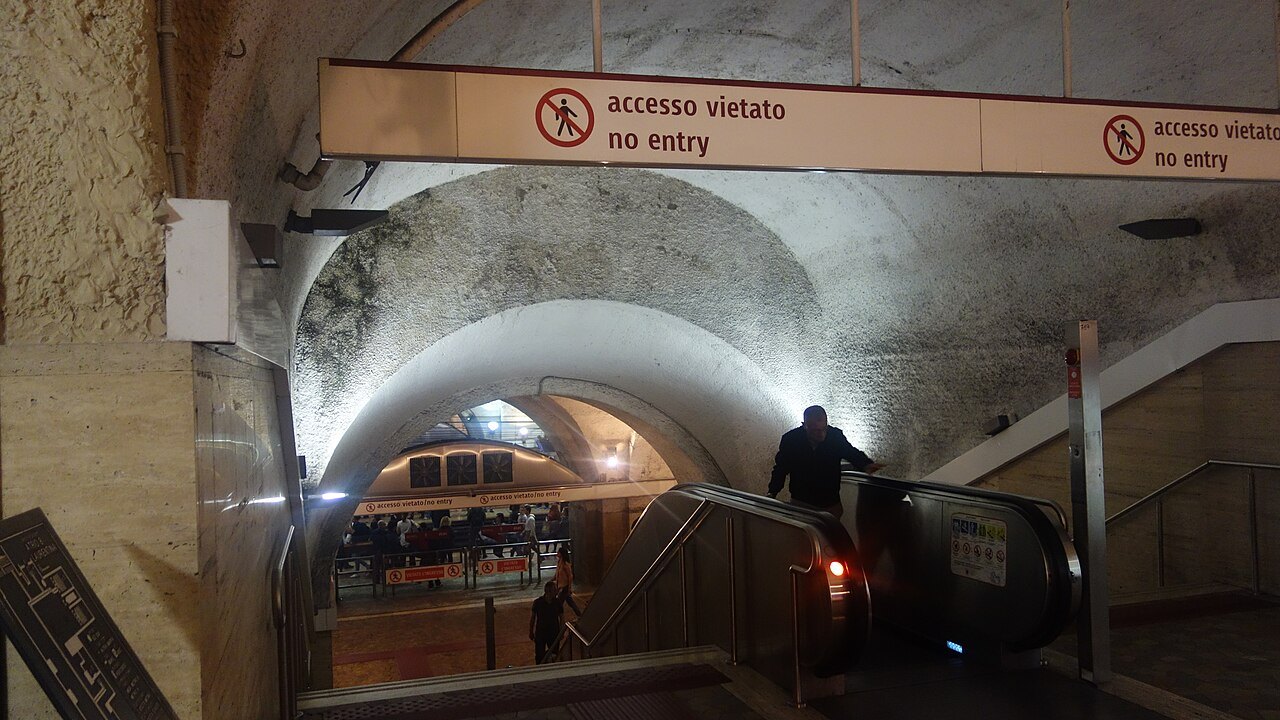
An escalator descending under a vaulted ceiling at the Termini Metro interchangeMint0ri, Wikimedia Commons, CC0 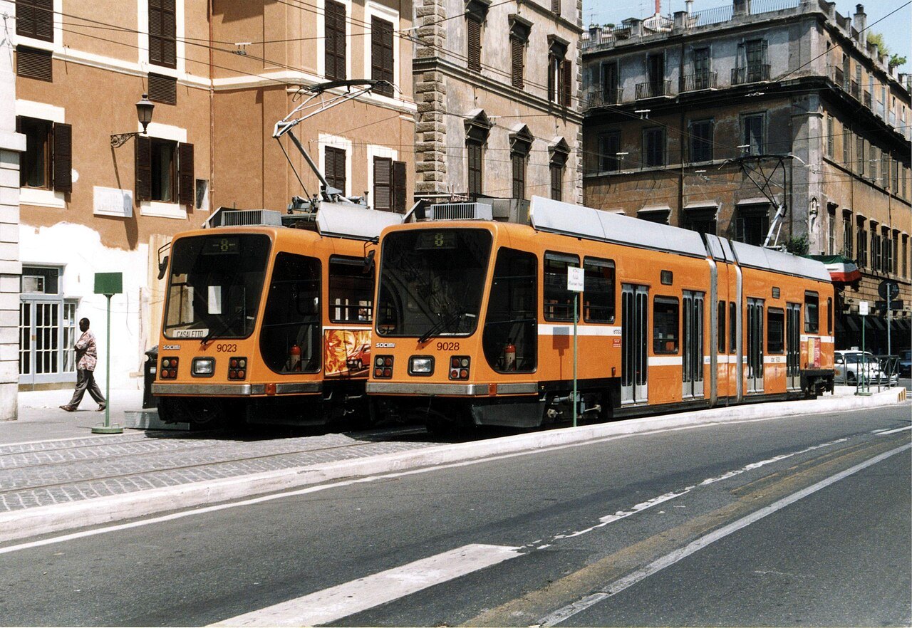
Two orange trams passing in a street of old apartment buildingsgiokai421, Wikimedia Commons, CC BY 2.0